I decided to research the infrastructure systems in Alfred. I define infrastructure as the public framework that supports a city.
My prompts are:
– Document what infrastructure I use to travel around Alfred, and incorporate it into a visual representation.
– Collect water samples from infrastructure in Alfred.
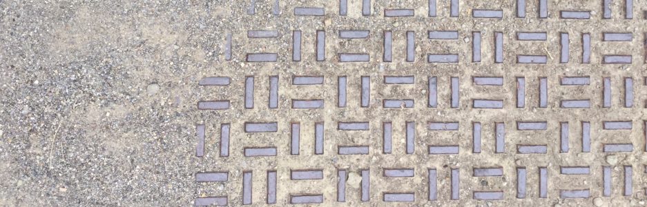
To document the infrastructure I use on a daily basis I took pictures of all of the different types of sidewalks and stairs I used while on a walk around town. My pictures are in the slideshow below:
To incorporate these into a visual I created a foot template and cut out concentric shapes from each of the photographs. I combined these to make a footprints that each have a piece of a different sidewalk, road, or stair in them. My process is displayed below:


To explore unseen infrastructure I collected various water samples that interact with public infrastructure in the Village of Alfred. I collected water samples from our suite, one from the bathrooms at Powell Campus Center, and from the places shown below:


Reflection: I had a lot of trouble coming up with ideas of what to research for infrastructure. I was washing dishes when I thought of collecting water samples from the pipes, roads, and waterways of Alfred. While I was walking around looking for easily accessible, visually interesting water. I noticed the different patterns on the various walkways I was travelling on. I particularly liked the coloration on the weathered metal staircases around campus. I started taking pictures of what I was walking on and thinking about how to incorporate it into a clear visual representation. I found that the best ideas came out of doing something, rather than sitting around thinking about what to do.
